Polygon or point? Getting plot geolocation right
Six decimal places, four hectares and a closed boundary: the technical details that decide whether your plot data survives a buyer's review.
By the POINT team
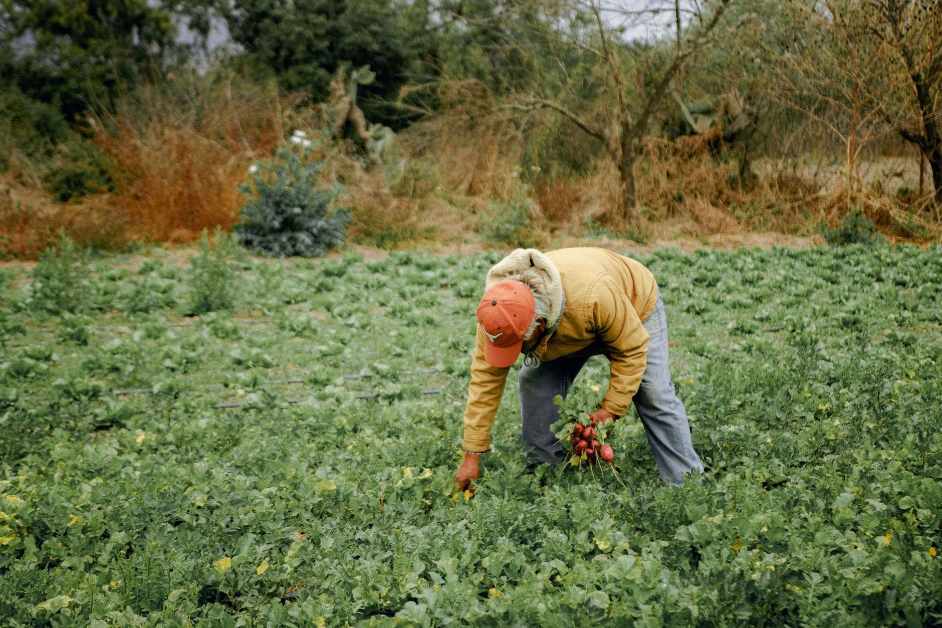
Under the EUDR, geolocation means the coordinates of a plot of land, given as latitude and longitude with at least six decimal digits. Six decimals pins a location down to roughly ten centimetres. It sounds like a formality, but it is where most plot data falls apart.
When a single point is enough
For plots of four hectares or less, one coordinate point inside the plot is acceptable. Most cocoa and coffee smallholdings in West Africa fall under this threshold, so a single point captures most farms.
A single point is still not a guess. It must sit inside the plot that actually produced the crop, not at the farmer's house or the cooperative's warehouse. Points taken at the buying centre are one of the most common errors we see.
When you need a polygon
Plots larger than four hectares need a polygon: a set of points that traces the perimeter closely enough to describe its shape. (Cattle is handled differently, by the establishment where the animals were kept.)
To capture a good polygon:
- Walk the boundary with the farmer, recording a point at every corner and change of direction.
- Close the shape where it started, and make sure it does not cross itself.
- Exclude land that is not in production, such as homesteads, fallow forest and water.
- Record the date of capture and who captured it, so the data can be audited later.
If you are unsure whether a plot is over four hectares, map it as a polygon anyway. A polygon always meets the requirement, and the measured area is useful later when you check whether delivered volumes are plausible for that plot.
Quality checks before the data leaves the field
Errors are cheapest to fix while the field agent is still standing on the plot. Useful automatic checks include:
- GPS accuracy below a set threshold before a point is accepted.
- Polygons that overlap another registered plot.
- Areas that don't fit the farmer's declared farm size.
- Points that fall in water, on roads or inside protected areas.
- Yields per hectare that are implausible for the crop and region.
Format matters
Buyers' due diligence systems, and the EU information system itself, accept geolocation as GeoJSON. Keep your master data in a format that exports cleanly to GeoJSON, with one feature per plot and stable plot IDs. Then you can regenerate the file for any shipment without retyping coordinates.
The plot record you create on day one is the evidence your buyer submits months later. Capture it as if an auditor will open it, because one may.
Newsletter
Enjoyed this? Join the POINT community
Exporters, cooperatives, buyers and compliance teams use our updates to stay ahead of the rules. One email a month, no spam.
- Plain-language updates when trade rules change
- New guides and field notes from our team
- Invitations to POINT briefings and community sessions
Community
Learn from the people doing the work
Follow POINT for regulation news, field stories and behind-the-scenes from farms, mines and ports. Have a question or a story from the field? We'd love to hear it.
Keep reading
All insights
Chain of custody models: which one does your buyer need?
Identity preserved, segregated or mass balance? The model you run determines what you can honestly claim about origin.
Read article
Inside a customs-ready compliance dossier
What goes into a single shipment's dossier, who reads which part, and why one file beats a folder of certificates.
Read article
EUDR explained: what exporters need to prove
The EU Deforestation Regulation puts the legal duty on EU importers, but the evidence has to come from the farm. Here is what your buyers will ask you for.
Read article